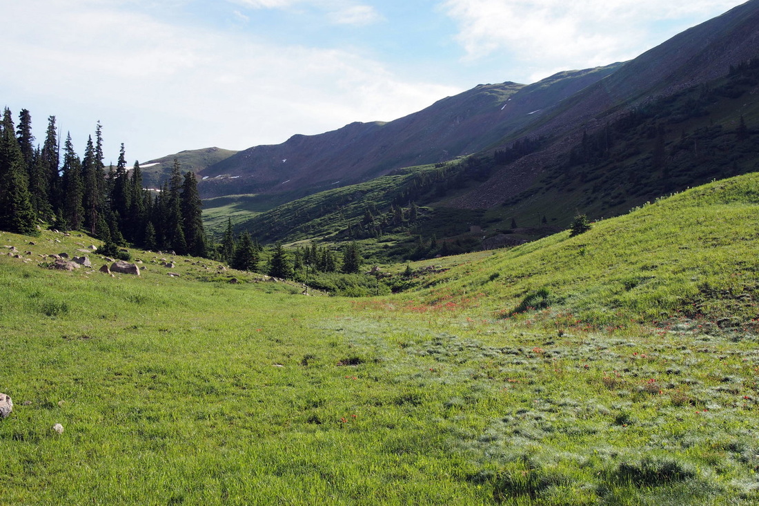
Straight Creek 7/2015
photos by Sigrid Freese and Barbara Berrymna
photos by Sigrid Freese and Barbara Berrymna
|
Sigrid Freese -
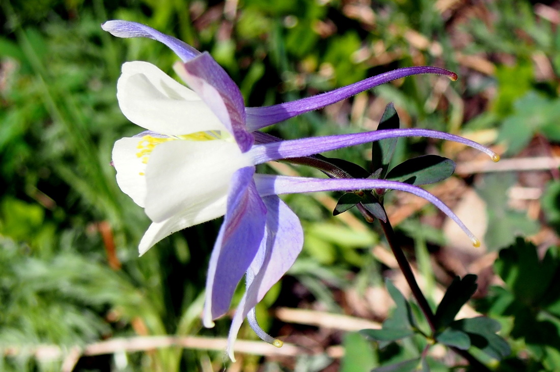
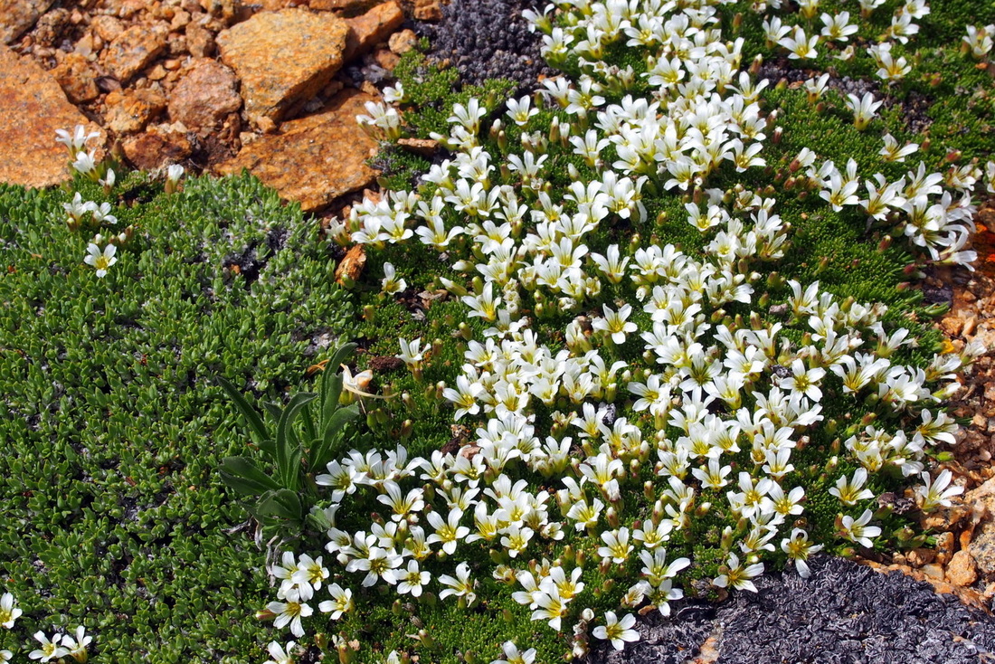
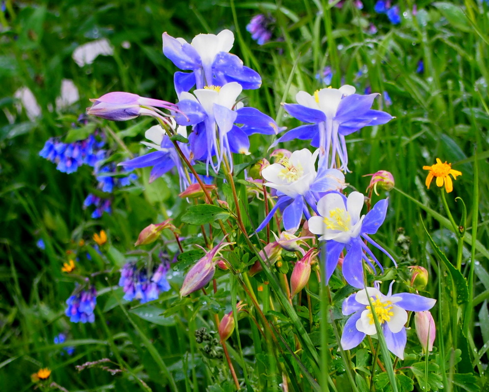
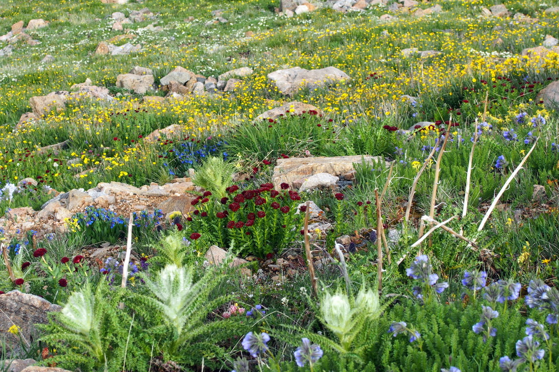
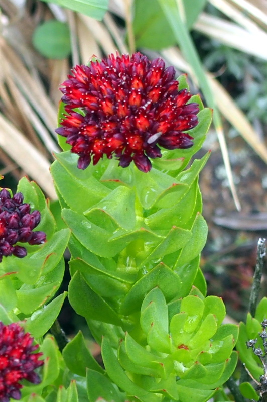
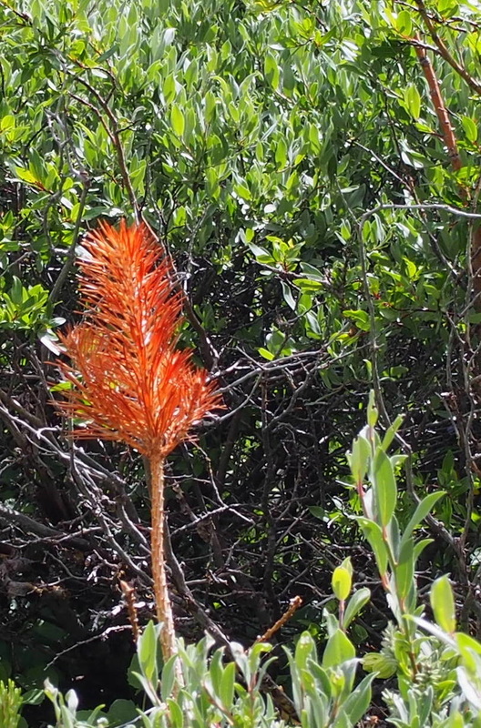
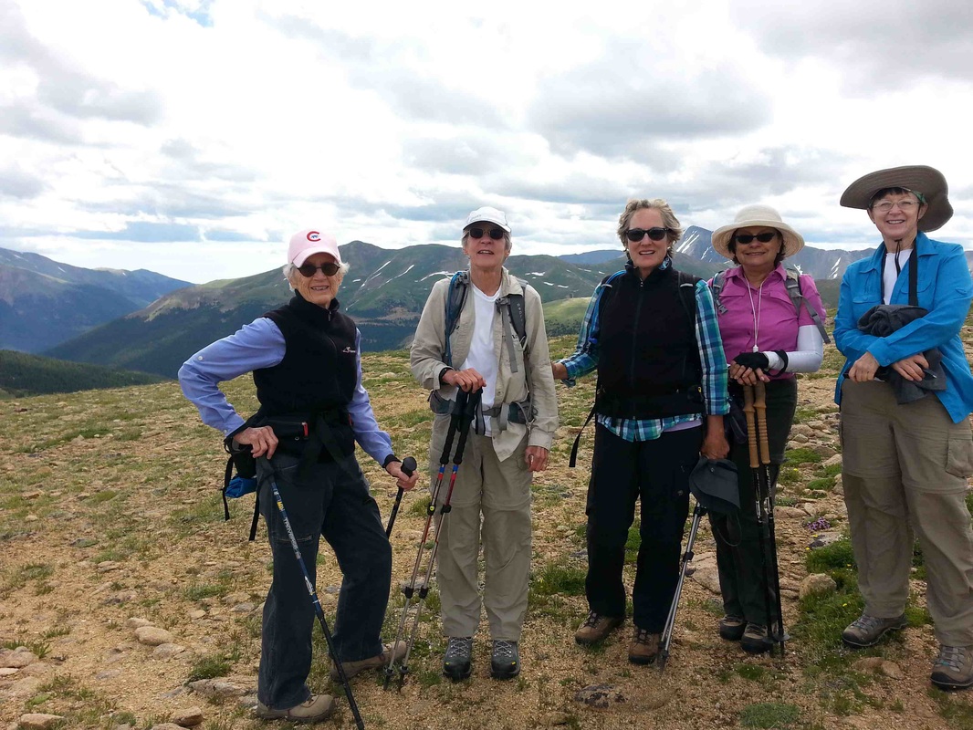
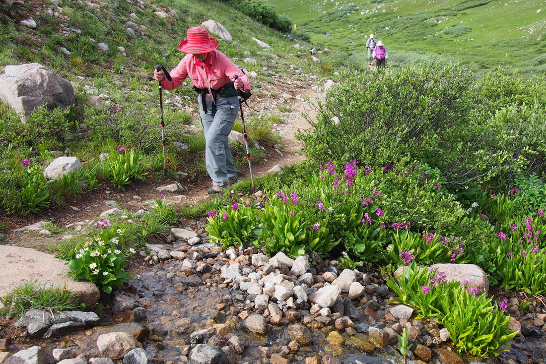
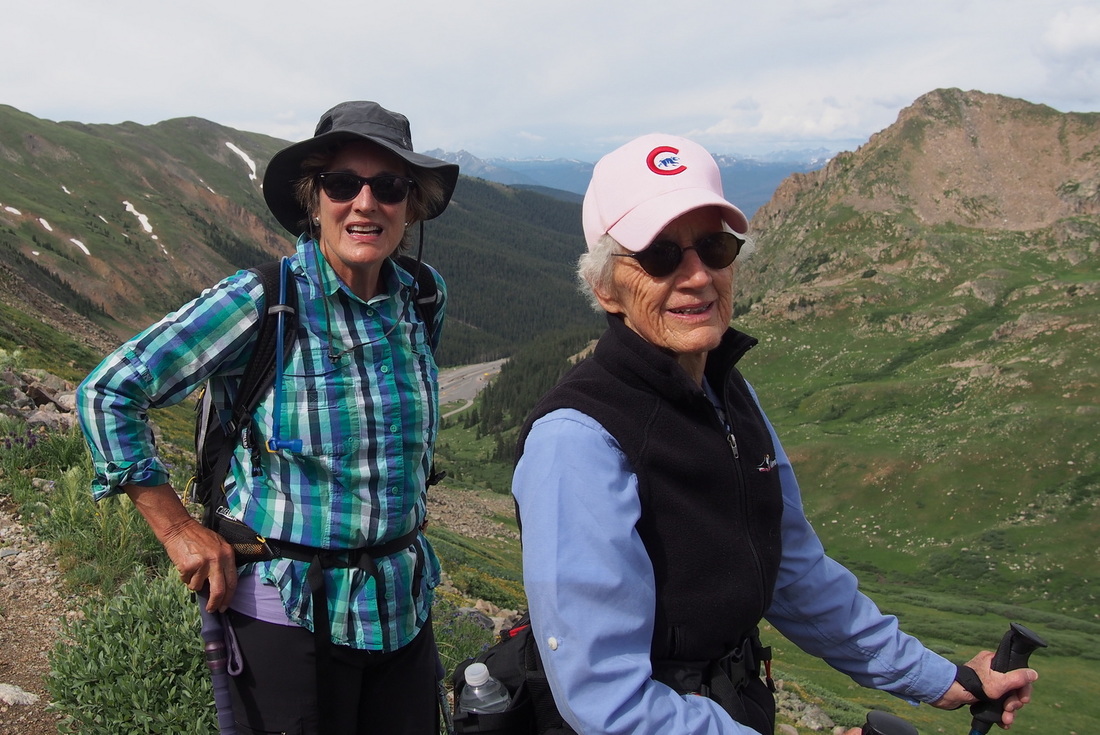
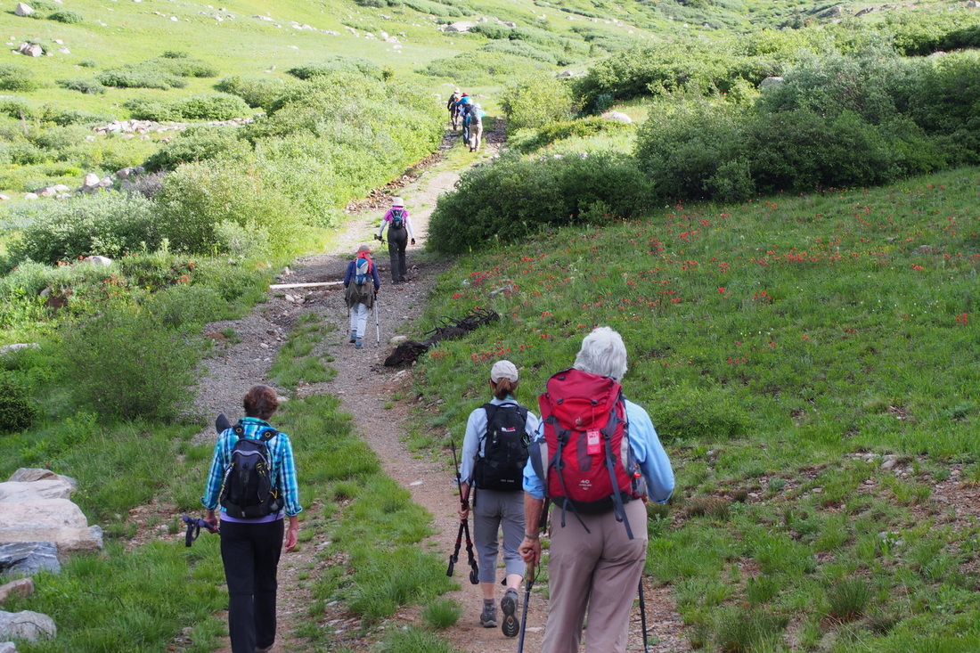
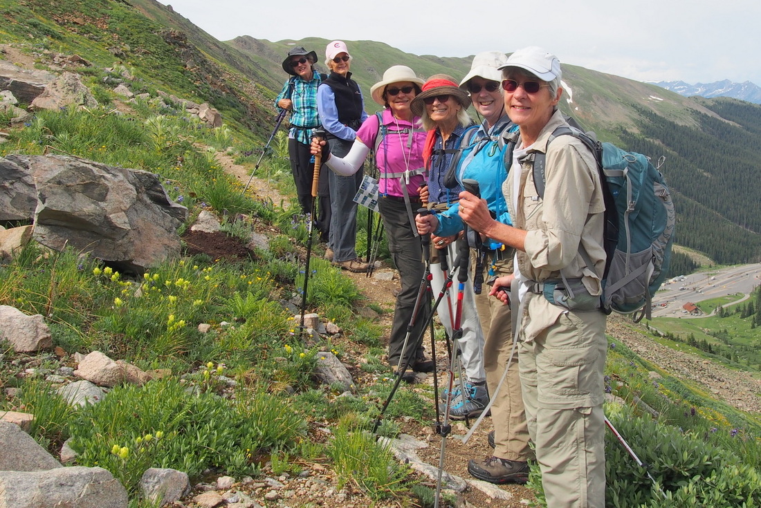
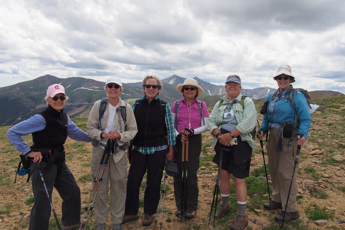
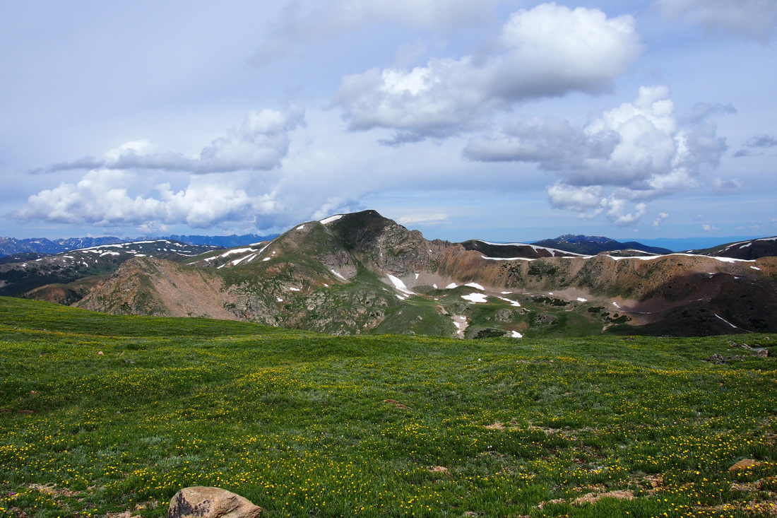
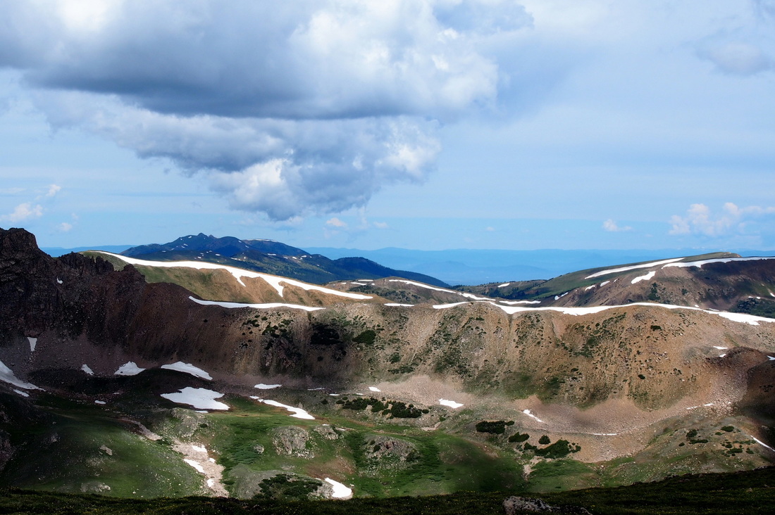
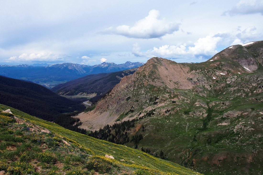
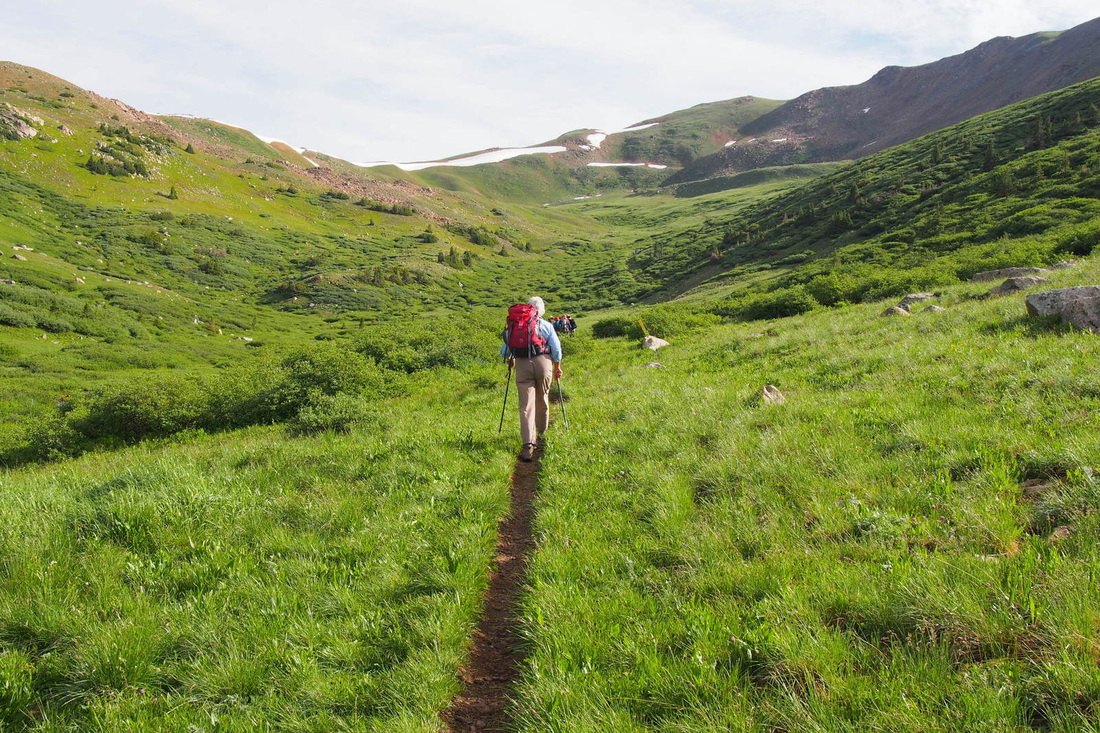
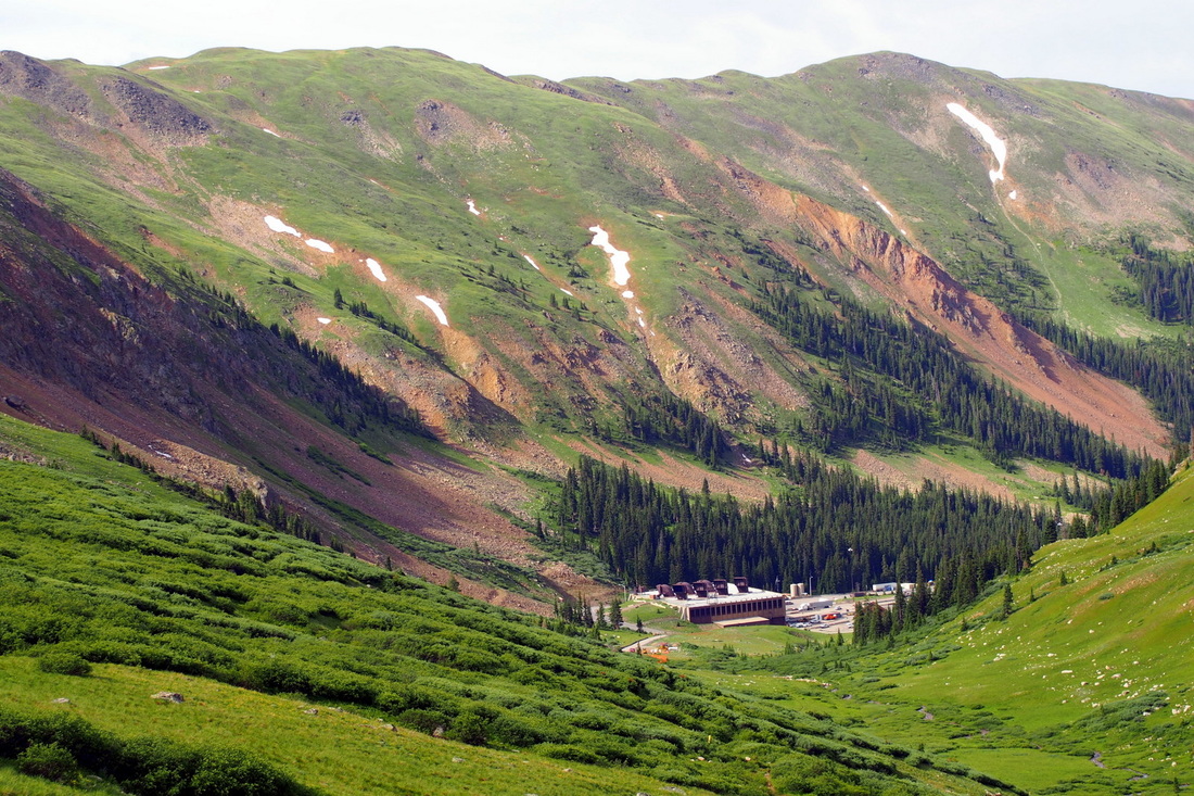
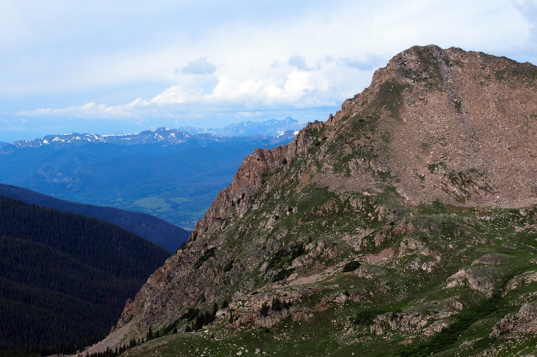
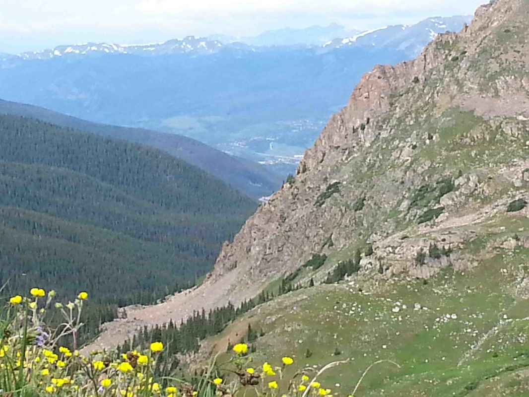
Barbara Berryman, a real photographer using a real camera, sent a lot of pictures yesterday, but I don't think everyone got them. Here is a small sample of what we saw on the Straight Creek trail...views and flowers overwhelming in every direction. This is a great high altitude hike, all of it above timberline, starting from the parking lot at 11,150 ft. to the ridge at about 12,500. I measured 5.5 miles from the cars and back. The first mile, some on a paved service road and then on dirt trail with a few wet spots where shallow run off streams are still crossing the trail seems pretty steep to the first hairpin turn. After that it keeps climbing but much more gradually all the way to the ridge overlooking Loveland ski area , Loveland pass and I-70. 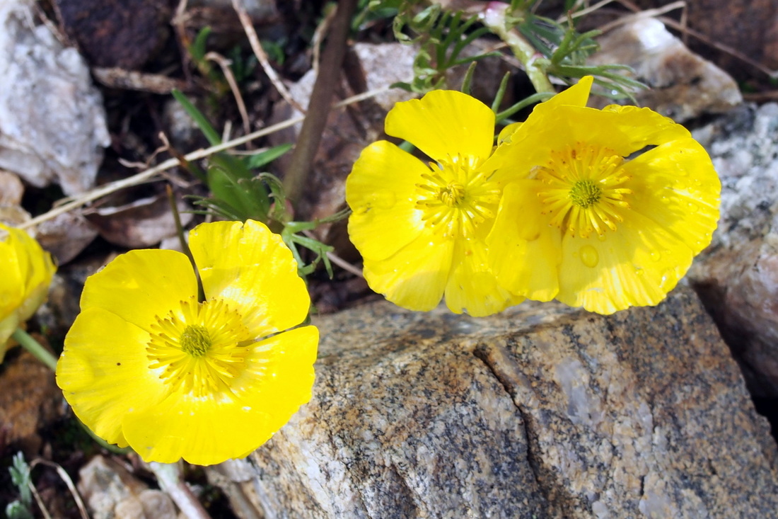
|
Barbara Berryman -
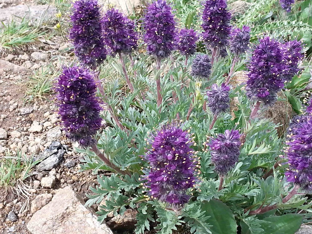
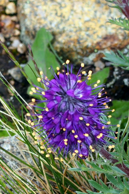
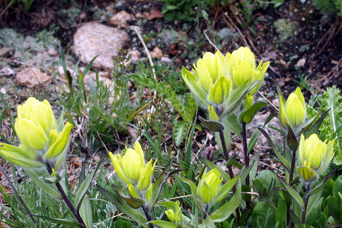
Every year, hundreds of thousands of motorists pass the unmarked trailhead of a floral treasure chest as they exit the Eisenhower Tunnel’s west portal. Over 100 species of wildflowers accompany the hikers’ climb of 1,350 (one trail description says 1,700) vertical feet along Straight Creek, then up to an old wagon road that tops out on the Continental Divide. The first mile more or less follows the Straight Creek drainage north, and the second mile traverses an old abandoned wagon road on an east axis. The third week in July seems to be a magic time for catching peak bloom in the high country. Sigrid timed this one perfectly!!! It is also a time of afternoon thunderstorms. Plan to be back down by noon to avoid dangerous lightning activity, especially since this hike is above tree line. At the top of the trail you are at 12,500 feet. Just as we drove away, a heavy rain pelted our cars. This did not deter us from coffee and a wonderful birthday cake at the I-70 Starbucks. The cake was the generous contribution of Juliet who turned 80 this month!! Happy Birthday, Juliet Sherwood 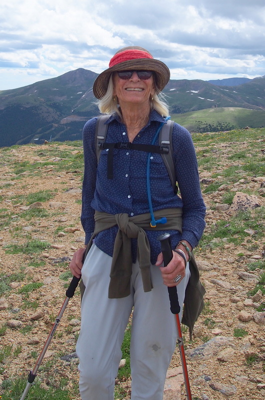
|

|
|
|
|
|
|
|
|